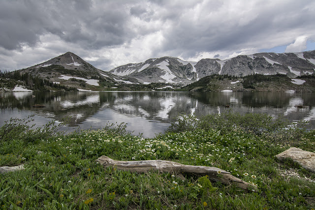
James had 3 consecutive days off this week so we made plans to go do a backpacking trip in the Elks or Sangre de Cristos. However, the weather forecast for most of Colorado called for rain and thunderstorms in the mornings for Wednesday and Thursday. We didn't like the idea of sitting in our tents while it rained so we looked for a second option. We considered Canyonlands, but that wasn't practical. We'd spend as much time driving as we would hiking. Just a few hours north of us in Wyoming, the weather in the snowy range looked clearer. Bingo!
We drove up with the intention of hiking Browns peak the first day if the weather held, then Medicine Bow Peak the following day. We arrived in the afternoon and started along the trail from Lewis Lake toward South Gap Lake. From there we could reach the saddle and walk up the south flank of Browns. As we hiked the thunder started rolling in. Each time the thunder cracked, James and I would look at each other thinking the same thing. We decided it unwise to travel too far past tree line. We headed back to find a place to camp near Lake Marie.
 |
| Medicine Bow and Sugarloaf from Lewis Lake |
 |
| South Gap Lake |
We scoped out a spot at Lake Marie to shoot sunrise. As we arrived, we saw a fish and game truck at the shoreline. They were stocking 2,500 rainbow trout into the lake. It was pretty cool to see how they transfer the fish through a long tube. Most of the fish just kind of sit there after they enter their new habitat. The guy said that most of them are kind of in shock because of the long truck ride and the difference in temperature between the lake and the fish tank they were transferred from. He also said about 30% of them wouldn't survive. We were tempted to just grab a couple with our bare hands to eat for dinner, but we figured that wouldn't go over well.
 |
| Molly was interested too. |
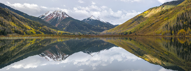
We woke early the next morning to bluebird skies and a perfect reflection of Medicine Bow on the lake.
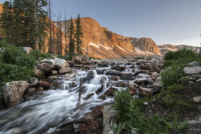
Our hike was a loop that started at the Mirror Lake trailhead and headed through the valley below the cliffs of the long Medicine Bow ridge past Lookout Lake. It then gained the steep southeast ridge route to the summit. From there we took the more popular trail over the ridge and back down to Lake Marie. The route was easy hiking on an excellent trail. There was one short sketchy snow crossing we wished we had brought our ice axes for. When will I learn? If there's even a slight chance of snow, just bring the snow gear!
 |
| All white columbines |
 |
| Looking north at Browns Peak |
 |
| Snow crossing |
 |
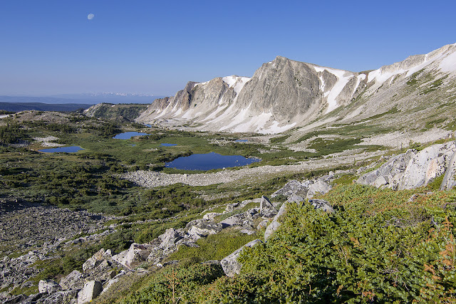
| Looking back down at the lakes from the summit. You can see a small group of hikers to the right. |
 |
| West |
 |
| Summit selfie...THAT BEARD!!! |
 |
| Gentle terrain on the return route to Lake Marie |


